
Drone Image/Video Analysis
Real-Time Aerial Intelligence from Image & Video Feeds
08 / 13
Computer Vision · AI
Overview
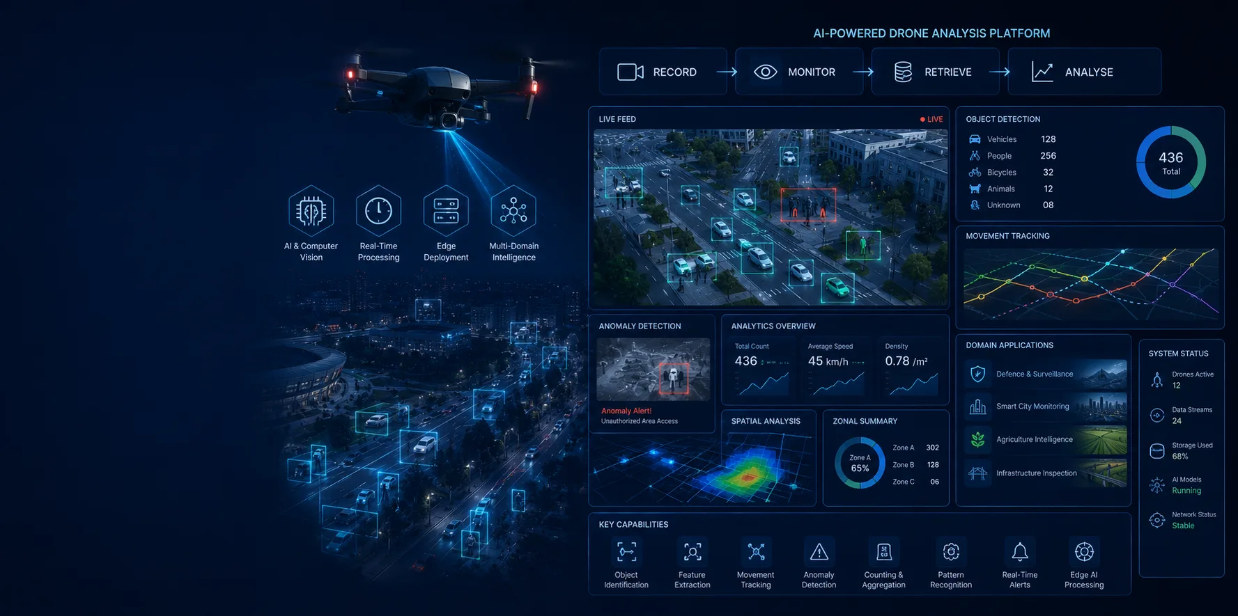
An AI-powered platform that processes drone-captured images and video feeds to extract actionable intelligence in real time. Using edge-deployed computer vision models, the platform performs object identification, feature extraction, movement tracking, and anomaly detection across aerial footage — computing counters, means, summations, and spatial patterns to deliver structured, decision-ready insights. Built for defence surveillance, smart city monitoring, agriculture, and infrastructure inspection, Drone Analysis provides an end-to-end solution: Record, Monitor, Retrieve, and Analyse through unified dashboards.
Key Features
- Real-time processing through Edge Technology — low-latency on-device inference
- Object identification and feature extraction from drone image and video feeds
- Counters, mean, summation, and pattern analysis across aerial data
- Aerial anomaly and intrusion detection for surveillance
- Crop health and land-use analysis for agriculture
- Infrastructure inspection and defect identification
- End-to-end dashboard — Record, Monitor, Retrieve, Analyze